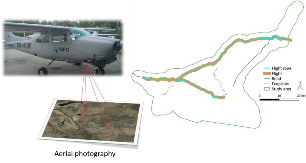
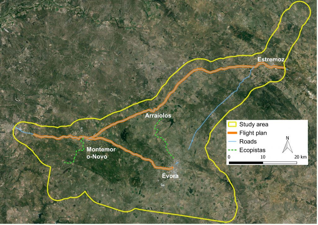
Flight to collect aerial photographs of the study area
LIFE LINES – Linear Infrastructure Networks with Ecological Solutions: PRESS RELEASE
2016-05-25LIFE LINES – Linear Infrastructure Networks with Ecological Solutions: PRESS RELEASE #2
2016-06-09On May 20th of 2016, within the promoting of detection practices and control of invasive alien plant species in roads, it was held a flight to collect aerial photos along the roads of the study area of LIFE LINES project. These photos has a wave-length between the visible and near infrared going to be utilized to obtain maps of land cover using unsupervised classification.